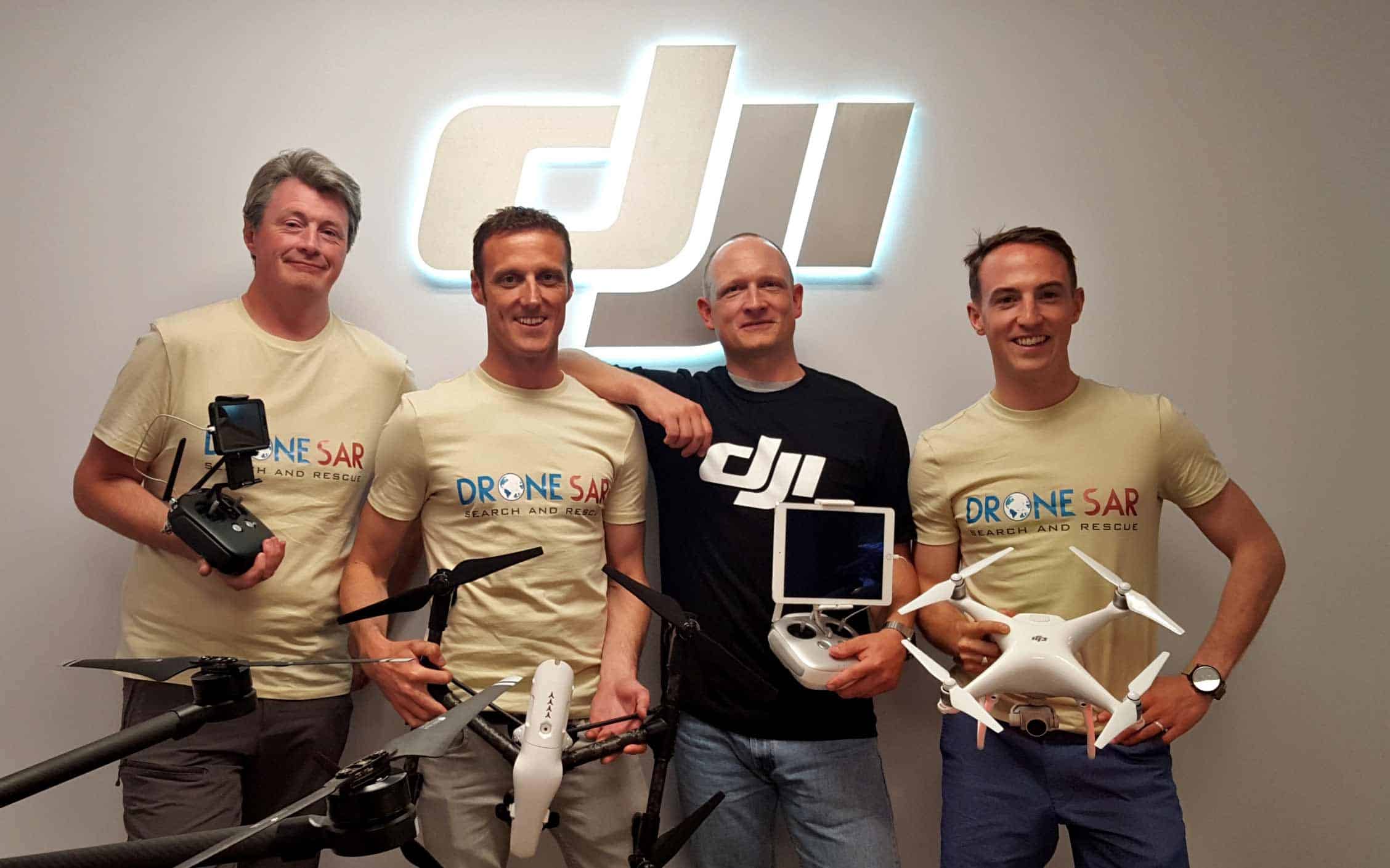
Matthew Kelly (COO), Oisin McGrath (CEO), Romeo Durscher (Director of Education, DJI) and Gearoid O Briain (Client Manager)
In our Ones to Watch section, we highlight some of the top movers and shakers. This week we feature DroneSAR.
What is it?
DroneSAR is an app that transforms basic commercially-available drones into advanced search and rescue platforms. The idea evolved from a research project conducted by the European Emergency Number Association (EENA) and DJI.
It does this through live stream and video capabilities, victim location sharing via SMS/email to drones, tracking functionality and more.
The business was awarded a Copernicus Masters award and was one of ten companies chosen out of around 400 in the Copernicus Accelerator programme to gain valuable mentoring and collaboration with other firms.
Who’s behind it?
Oisin McGrath, CEO/Co-founder, has over 18 years’ experience in the aviation industry, including serving as a military helicopter instructor and examiner. He is also co-founder of Ireland’s leading unmanned aircraft training centre and is a National Authority-approved unmanned aircaft instructor and examiner.
Matthew Kelly, CTO/Co-founder, is an award-winning app designer and has developed a number of app solutions that directly integrate with drone technology.
Gearóid O’ Briain, Client Manager/Co-founder, has over 10 years’ experience in the military as a flight instructor and four years’ experience as a civilian drone instructor and examiner.
Leo Murray, Director R&D/Co-founder, is an R&D engineer with the Contract Research Unit (CRU), specialising in new product and service development.
How is it funded?
DroneSAR was initially funded through the Enterprise Ireland Competitive Start Fund and became the first European Space Agency Business Incubation Company in Ireland, which has allowed more access to funding.
Future plans?
- Satellite data transfer
- Augmented reality processes for drone location
- Automatic colour recognition and detection
- Terrain-following features for mountainous terrain
- Remote drone control from any Internet browser